- Phone:
- (812) 855-8390
- Email:
- tbranam@iu.edu
- Campus:
- IU Bloomington


Project abstract
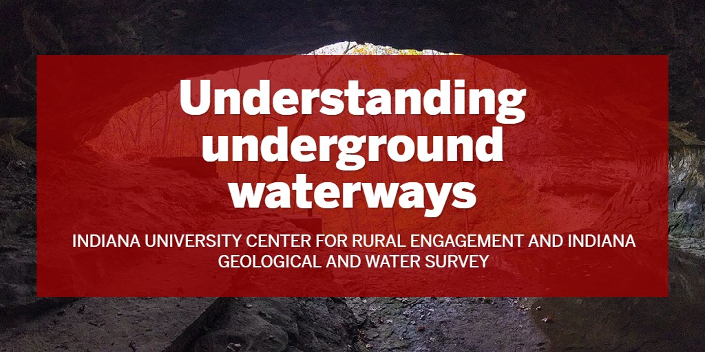
In southwest-central Indiana (SWCI) where groundwater resources are limited, springs have been historically important to communities as a source of drinking water and a resource for livestock, agriculture, and commercial enterprises. Because available water remains a chief limiting factor for the economic and human development in the SWCI region, it is important to understand the distribution of and water quality in springs and how time has affected the quantity and quality of their water. The Indiana Geological and Water Survey (IGWS) will combine historical data with new data to ascertain a baseline of water quantity and quality for a subset of karst and mineral springs in the Indiana Uplands. Activities and products of this project include scouring publication archives for historical data dating back to 1901; visiting 100 springs to sample water quality and compare these results to available historical data; use these data to develop and make available a geospatial database of springs; and develop a crowdsourcing geospatial tool to acquire information on springs and engage residents in communities throughout SWCI.
Campus partners
The project employs graduate student assistants from the O’Neill School of Public and Environmental Affairs and Department of Earth and Atmospheric Sciences for field and laboratory analyses, conference presentations and community outreach. The IU Media School will be invited to assist with outreach and information distribution activities.
Community partners
Counties involved
Lawrence, Orange, Washington, Brown, Crawford, Dubois, Martin, Owen, Monroe, Daviess, Greene