- Phone:
- (812) 855-5893
- Email:
- mrj21@iu.edu
- Campus:
- IU Bloomington


Project abstract
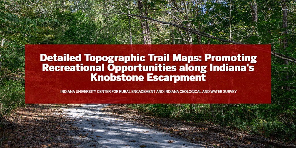
Creation of detailed and updated topographic maps of the recreational areas in southwest central Indiana (SWCI). These maps will showcase the remarkable topography and physiography of the eastern edge of the Uplands Region, with its rugged razor-backed ridges and steep valleys. With many opportunities for outdoor recreation it is no surprise many public lands are clustered here. In addition, numerous smaller parks, natural areas, and easements are locally owned or owned by nonprofit agencies, expanding opportunities for recreational activity. This set of maps will significantly enhance the Center for Rural Engagement’s (CRE) goal of increasing recreational use of public lands within the Indiana Uplands region.
Community partners
Counties involved
Brown, Clark, Jackson, Lawrence, Monroe, Scott, Washington